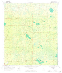
1969 Map of Fairview
USGS Topo · Published 1971About this map
The Osceola National Forest dominates this North Florida landscape, where cypress ponds and expansive wetlands transition into managed timberlands. The small settlement of Fairview serves as a local anchor near the intersection of several forest tracks, including Fairview Road and Sand Hill Road. The area is defined by its hydrology, featuring massive low-lying basins such as Impassable Bay, Sandlin Bay, and Cowhouse Bay.
Find a feature on this map
22 named features on this map. Tap any name to fly to it.
Don’t see what you’re looking for? This feature index may not catch every label — zoom into the map to look around manually.
Map Details
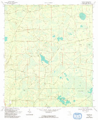
Editions of this 1969 Fairview Map
2 editions found
Other maps of this area

1954 · Valdosta
USGS Topo · 1:250,000

1955 · Council
USGS Topo · 1:24,000

1955 · Fargo SW
USGS Topo · 1:24,000

1956 · Sargent
USGS Topo · 1:24,000

1958 · Valdosta
USGS Topo · 1:250,000

1959 · Valdosta
USGS Topo · 1:250,000

1961 · Deep Creek
USGS Topo · 1:24,000

1961 · White Springs East
USGS Topo · 1:24,000

1967 · Sargent
USGS Topo · 1:24,000

1969 · Sanderson NW
USGS Topo · 1:24,000