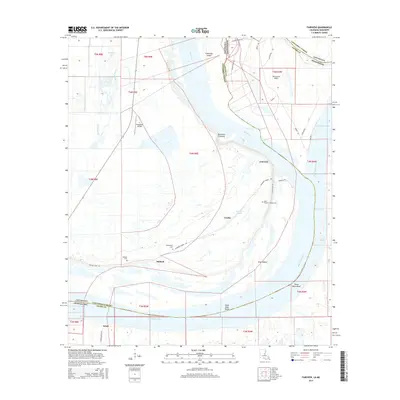
2015 Map of Fairview
USGS Topo · Published 2015About this map
Glasscock Island and the meandering path of the Mississippi River dominate this landscape along the border of Louisiana and Mississippi. The area is characterized by the complex hydrology of the river floodplain, where the Glasscock Cutoff and the Old River course through silty lowlands. Small riverfront settlements like Fairview and Ashland are situated near the protective Slocum Levee Rd, which traces the western bank of the river.
Find a feature on this map
42 named features on this map. Tap any name to fly to it.
Don’t see what you’re looking for? This feature index may not catch every label — zoom into the map to look around manually.
Map Details
Editions of this 2015 Fairview Map
This is the sole edition of this map. No revisions or reprints were ever made.
Other maps of this area

1936 · Woodville
USGS Topo · 1:62,500

1939 · Kingston
USGS Topo · 1:62,500

1939 · Artonish
USGS Topo · 1:62,500

1939 · Deer Park
USGS Topo · 1:62,500

1953 · Natchez
USGS Topo · 1:250,000

1954 · Artonish
USGS Topo · 1:62,500

1955 · Artonish
USGS Topo · 1:62,500

1956 · Natchez
USGS Topo · 1:250,000

1958 · Artonish
USGS Topo · 1:62,500

1958 · Woodville
USGS Topo · 1:62,500