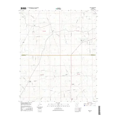
2017 Map of Faith
USGS Topo · Published 2017About this map
Mount Zion and Faith anchor this landscape along the border of Jefferson and Cleveland Counties, reflecting a rural Arkansas settlement pattern defined by small communities and family burial grounds. The map detail highlights numerous local resting places, including Curl Cem, Brown Cem, and Blackwell Cem, which serve as vital markers for genealogical research. Waterways like Big Cr and Cane Cr drain the terrain, while man-made features such as Studdard Lake and Rust Lake Number One interrupt the wooded sections. A network of country roads, including Old Warren Rd and Gaddy Koonce Rd, connects the scattered farmsteads and churches like Wesley Chapel Cem. The survey provides an intricate view of the mid-2010s infrastructure, tracing the paths of Hudgens Cr and Sandy Bayou as they meander through the southern timberlands and agricultural plots.
Find a feature on this map
75 named features on this map. Tap any name to fly to it.
Don’t see what you’re looking for? This feature index may not catch every label — zoom into the map to look around manually.
Map Details
Editions of this 2017 Faith Map
This is the sole edition of this map. No revisions or reprints were ever made.
Other maps of this area

1935 · Feenyville
USGS Topo · 1:62,500

1935 · Noble Lake
USGS Topo · 1:62,500

1948 · Helena
USGS Topo · 1:250,000

1950 · Helena
USGS Topo · 1:250,000

1953 · Greenwood
USGS Topo · 1:250,000

1953 · El Dorado
USGS Topo · 1:250,000

1955 · Helena
USGS Topo · 1:250,000

1955 · Little Rock
USGS Topo · 1:250,000

1956 · Little Rock
USGS Topo · 1:250,000

1956 · Greenwood
USGS Topo · 1:250,000