
1951 Map of Faith NE
USGS Topo · Published 1953About this map
The Moreau River meanders across this northern South Dakota landscape, marking a significant geographic divide near the Cheyenne River Indian Reservation Boundary. This 1951 survey, part of the Missouri River Basin development program, captures the transition from the rolling terrain of Englewood in the north to the more complex topography of the south. Evidence of shifting settlement patterns is preserved in the location of the Arrowhead Sch (Abandoned), which sits north of the prominent Arrowhead Butte. The map details a network of vital water sources including Badlands Creek, Mud Creek, and Locate Creek, which define the drainage patterns in this corner of Perkins and Ziebach counties. These features provide a clear record of rural infrastructure and natural landmarks during the mid-century era.
Find a feature on this map
10 named features on this map. Tap any name to fly to it.
Don’t see what you’re looking for? This feature index may not catch every label — zoom into the map to look around manually.
Map Details
Editions of this 1951 Faith NE Map
This is the sole edition of this map. No revisions or reprints were ever made.
Other maps of this area

1951 · Redelm NW
USGS Topo · 1:24,000

1952 · Faith NW
USGS Topo · 1:24,000

1953 · McIntosh
USGS Topo · 1:250,000

1954 · Lemmon
USGS Topo · 1:250,000

1957 · Lemmon
USGS Topo · 1:250,000

1958 · McIntosh
USGS Topo · 1:250,000

1982 · Glad Valley SW
USGS Topo · 1:24,000
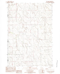
1982 · Red Elm SW
USGS Topo · 1:24,000
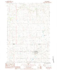
1983 · Faith
USGS Topo · 1:24,000

1983 · Coal Springs SW
USGS Topo · 1:24,000