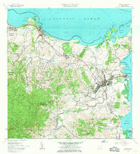
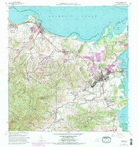
1962 Map of Fajardo
USGS Topo · Published 1968About this map
Fajardo serves as the focal point of this northeastern coastal survey, divided into sectors like Pueblo Norte, Pueblo Este, and Pueblo Sur. The landscape transitions from the developed harbor at Puerto Real and Playa de Fajardo to the dense, protected elevations of the Caribbean National Forest and Sierra de Luquillo in the southwest. Along the coast, the geography is defined by prominent headlands like Cabezas de San Juan and the reef-protected waters of Ensenada Yegua and Laguna Grande.
Find a feature on this map
98 named features on this map. Tap any name to fly to it.
Don’t see what you’re looking for? This feature index may not catch every label — zoom into the map to look around manually.
Map Details
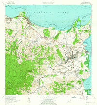
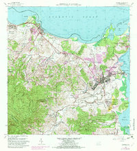
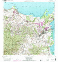
Editions of this 1962 Fajardo Map
6 editions found
Other maps of this area

1941 · Rio Grande
USGS Topo · 1:30,000

1945 · Cayo Icacos
USGS Topo · 1:30,000

1945 · El Yunque
USGS Topo · 1:30,000

1946 · El Yunque
USGS Topo · 1:30,000

1946 · Punta Puerca
USGS Topo · 1:30,000

1946 · Naguabo
USGS Topo · 1:30,000

1946 · Fajardo
USGS Topo · 1:30,000

1947 · El Yunque NE
USGS Topo · 1:10,000

1947 · Rio Grande
USGS Topo · 1:30,000

1947 · El Yunque SE
USGS Topo · 1:10,000