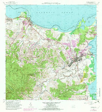
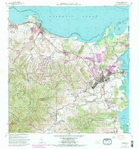
1962 Map of Fajardo
USGS Topo · Published 1982About this map
Fajardo and its surrounding barrios serve as the focal point of this coastal region, where the town's expansion is documented through updated urban boundaries and infrastructure. The landscape transitions from the protected peaks of the Caribbean National Forest in the southwest down to the maritime activity at Puerto Real and Playa de Fajardo. Coastal landmarks include the Monserrate area and the sprawling Roosevelt Roads Naval Reservation at the southern edge of the survey. Inland, the map captures a network of rural settlements and schools like Escuela Peñón and Escuela Río Chiquito, alongside industrial sites such as the Cantera Fortuna. This 1962 revision, updated with 1970s aerial data, provides a detailed view of the region's development before modern resort expansion, specifically detailing the water systems like the Planta de Filtración and the historic Faro light at the northeast tip.
Find a feature on this map
91 named features on this map. Tap any name to fly to it.
Don’t see what you’re looking for? This feature index may not catch every label — zoom into the map to look around manually.
Map Details
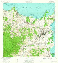
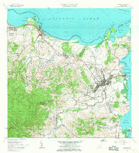
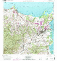
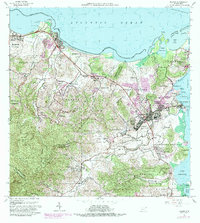
Editions of this 1962 Fajardo Map
6 editions found
Other maps of this area

1941 · Rio Grande
USGS Topo · 1:30,000

1945 · Cayo Icacos
USGS Topo · 1:30,000

1945 · El Yunque
USGS Topo · 1:30,000

1946 · El Yunque
USGS Topo · 1:30,000

1946 · Punta Puerca
USGS Topo · 1:30,000

1946 · Naguabo
USGS Topo · 1:30,000

1946 · Fajardo
USGS Topo · 1:30,000

1947 · El Yunque NE
USGS Topo · 1:10,000

1947 · Rio Grande
USGS Topo · 1:30,000

1947 · El Yunque SE
USGS Topo · 1:10,000