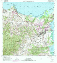
1962 Map of Fajardo
USGS Topo · Published 1989About this map
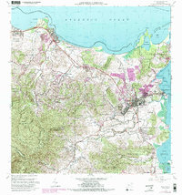
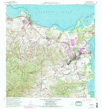
The northeastern coast of Puerto Rico is characterized by a transition from the dense, mountainous reaches of the Caribbean National Forest down to the bustling maritime hubs of Fajardo and Luquillo. The map illustrates a landscape of coastal lagoons and jagged peninsulas, with Laguna Grande and Bahia Las Cabezas defining the northern tip. Urban expansion, highlighted in purple through 1982 revisions, radiates from the historic centers of Pueblo Sur and Pueblo Norte. To the south, the massive Roosevelt Roads Naval Reservation footprint begins to dominate the shoreline near Bahia Demajagua. Away from the main settlements, the rural economy is evident in place names like Mata de Platano and the scattered mountain schools such as Escuela Penon, while coastal tourism and recreation are marked by the Balneario Luquillo and the ferry-accessible Sonda de Vieques.
Find a feature on this map
88 named features on this map. Tap any name to fly to it.
Don’t see what you’re looking for? This feature index may not catch every label — zoom into the map to look around manually.
Map Details
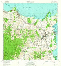
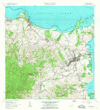
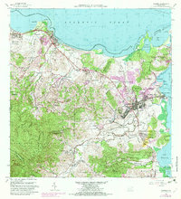
Editions of this 1962 Fajardo Map
6 editions found
Other maps of this area

1941 · Rio Grande
USGS Topo · 1:30,000

1945 · Cayo Icacos
USGS Topo · 1:30,000

1945 · El Yunque
USGS Topo · 1:30,000

1946 · El Yunque
USGS Topo · 1:30,000

1946 · Punta Puerca
USGS Topo · 1:30,000

1946 · Naguabo
USGS Topo · 1:30,000

1946 · Fajardo
USGS Topo · 1:30,000

1947 · El Yunque NE
USGS Topo · 1:10,000

1947 · Rio Grande
USGS Topo · 1:30,000

1947 · El Yunque SE
USGS Topo · 1:10,000