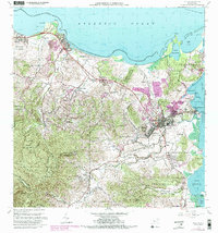
1962 Map of Fajardo
USGS Topo · Published 1989About this map
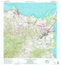
Coastal expansion and the development of the northeastern shoreline define this landscape during the mid-20th century. Urban growth is concentrated around Fajardo and the historic harbor at Puerto Real, with purple-tinted revisions showing the lateral sprawl of residential areas into Pueblo Norte and Pueblo Sur. To the west, the recreation corridor at Playa de Luquillo and the Balneario Luquillo represent the region's emerging tourism infrastructure, while the rugged interior slopes of Mata De Platano and Naranjo maintain their agricultural character.
Find a feature on this map
82 named features on this map. Tap any name to fly to it.
Don’t see what you’re looking for? This feature index may not catch every label — zoom into the map to look around manually.
Map Details
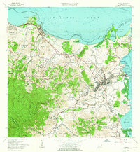
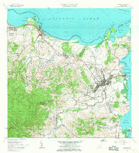
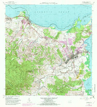
Editions of this 1962 Fajardo Map
6 editions found
Other maps of this area

1941 · Rio Grande
USGS Topo · 1:30,000

1945 · Cayo Icacos
USGS Topo · 1:30,000

1945 · El Yunque
USGS Topo · 1:30,000

1946 · El Yunque
USGS Topo · 1:30,000

1946 · Punta Puerca
USGS Topo · 1:30,000

1946 · Naguabo
USGS Topo · 1:30,000

1946 · Fajardo
USGS Topo · 1:30,000

1947 · El Yunque NE
USGS Topo · 1:10,000

1947 · Rio Grande
USGS Topo · 1:30,000

1947 · El Yunque SE
USGS Topo · 1:10,000