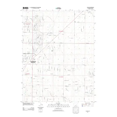
2013 Map of Falcon
USGS Topo · Published 2013About this map
Falcon and the surrounding ranchlands of El Paso County are captured here just east of the growing footprint of Colorado Springs. The map reveals a transition from traditional agricultural holdings to suburban development, with older homesteads such as Pring Ranch and Bennett Ranch appearing alongside newer residential corridors like Black Hills Drive and Londonderry Drive. The landscape is defined by its drainage systems, including the southward flows of Black Squirrel Creek and Jimmy Camp Creek. Aviation and local history intersect at the Meadow Lake Airport, while the Flynn Cemetery remains a quiet marker of the area's rural roots. This 2013 survey provides a clear view of how high-plains topography and modern infrastructure are increasingly integrated as the region expands.
Find a feature on this map
142 named features on this map. Tap any name to fly to it.
Don’t see what you’re looking for? This feature index may not catch every label — zoom into the map to look around manually.
Map Details
Editions of this 2013 Falcon Map
This is the sole edition of this map. No revisions or reprints were ever made.
Other maps of this area

1893 · Big Springs
USGS Topo · 1:125,000

1893 · Colorado Springs
USGS Topo · 1:125,000

1894 · Castle Rock
USGS Topo · 1:125,000

1909 · Colorado Springs
USGS Topo · 1:125,000

1913 · Castle Rock
USGS Topo · 1:125,000

1940 · Elbert
USGS Topo · 1:62,500

1942 · Colorado Springs
USGS Topo · 1:125,000

1944 · Elbert
USGS Topo · 1:62,500

1948 · Falcon
USGS Topo · 1:24,000

1948 · Falcon
USGS Topo · 1:62,500