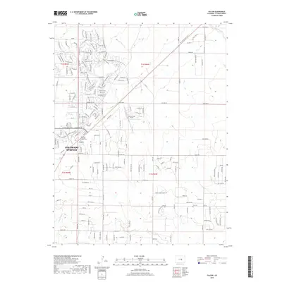
2019 Map of Falcon
USGS Topo · Published 2019About this map
Falcon serves as a central hub in this semi-rural landscape just east of Colorado Springs, where residential development is expanding along Meridian Rd. The map illustrates a transitional phase of growth, with suburban street names like Mt Harvard Dr and Londonderry Dr appearing alongside established landmarks. Genealogists and local historians can locate the Flynn Cem in the southeastern quadrant, a quiet marker of the area's earlier settlement history. Educational and infrastructure developments are prominent, including the Pikes Peak Community College Falcon campus and the Meadow Lake Airport. The terrain is defined by natural drainages such as Black Squirrel Cr and Jimmy Camp Cr, which shaped the original ranching and road patterns before the modern residential layout took hold.
Find a feature on this map
177 named features on this map. Tap any name to fly to it.
Don’t see what you’re looking for? This feature index may not catch every label — zoom into the map to look around manually.
Map Details
Editions of this 2019 Falcon Map
This is the sole edition of this map. No revisions or reprints were ever made.
Other maps of this area

1893 · Big Springs
USGS Topo · 1:125,000

1893 · Colorado Springs
USGS Topo · 1:125,000

1894 · Castle Rock
USGS Topo · 1:125,000

1909 · Colorado Springs
USGS Topo · 1:125,000

1913 · Castle Rock
USGS Topo · 1:125,000

1940 · Elbert
USGS Topo · 1:62,500

1942 · Colorado Springs
USGS Topo · 1:125,000

1944 · Elbert
USGS Topo · 1:62,500

1948 · Falcon
USGS Topo · 1:24,000

1948 · Falcon
USGS Topo · 1:62,500