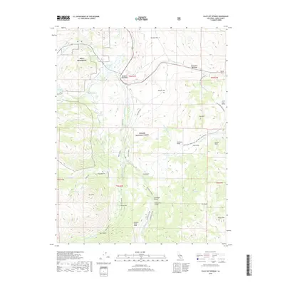
2018 Map of Fales Hot Springs
USGS Topo · Published 2018About this map
Fales Hot Springs and Sonora Junction anchor this high-elevation landscape in Mono County, where geothermal activity and alpine watersheds meet. The terrain is defined by the canyon systems of the West Walker River and Little Walker River, which carve through the Toiyabe National Forest. This 2018 survey reveals a network of mountain roads and specialized routes like the Molybdenum Cutoff, highlighting the area's history of mineral exploration and transit through landmarks like Devils Gate. The presence of MWTC Bridgeport underscores the modern strategic significance of this high-country environment. For the researcher, the map details numerous named features from the alpine Emma Lake and Kirman Lake to the meadows of Burcham Flat and Wheeler Flat, providing a clear record of the area's hydrology and topography.
Find a feature on this map
53 named features on this map. Tap any name to fly to it.
Don’t see what you’re looking for? This feature index may not catch every label — zoom into the map to look around manually.
Map Details
Editions of this 2018 Fales Hot Springs Map
This is the sole edition of this map. No revisions or reprints were ever made.
Other maps of this area

1896 · Dardanelles
USGS Topo · 1:125,000

1898 · Dardanelles
USGS Topo · 1:125,000

1909 · Bridgeport
USGS Topo · 1:125,000

1911 · Bridgeport
USGS Topo · 1:125,000

1920 · Bridgeport
USGS Topo · 1:125,000

1948 · Walker Lake
USGS Topo · 1:250,000

1954 · Chris Flat
USGS Topo · 1:24,000

1954 · Pickel Meadow
USGS Topo · 1:24,000

1954 · Fales Hot Springs
USGS Topo · 1:24,000

1954 · Lost Cannon Peak
USGS Topo · 1:24,000