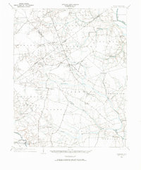
1997 Map of Falkland
USGS Topo · Published 2000About this map
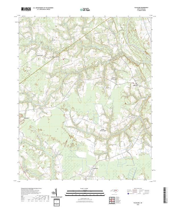
The Tar River defines the northeastern boundary of this rural Pitt County landscape, winding past the village of Falkland and the riverside landing at Dupree Landing. The terrain is characterized by a dense network of blackwater streams and swamps, including Otter Creek, Kitten Creek, and the sluggish Black Swamp. Settlement is largely dispersed across numerous rural intersections and crossroads, such as Dupree Crossroads and Kings Crossroads, reflecting an agrarian community structure long established before the late 20th century. Local family and congregational history is rooted in the high density of small country churches and cemeteries, ranging from St Johns Ch and Dildas Grove Ch to the more modern Crestlawn Memorial Gardens. In the south, the curiously named settlement of California and the waters of Langs Mill Run suggest older industrial or residential pockets within the timbered lowlands of the Coastal Plain.
Find a feature on this map
27 named features on this map. Tap any name to fly to it.
Don’t see what you’re looking for? This feature index may not catch every label — zoom into the map to look around manually.
Map Details
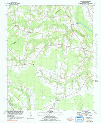
Editions of this 1997 Falkland Map
This is the sole edition of this map. No revisions or reprints were ever made.
Historical Maps of Fountain Through Time
8 maps found