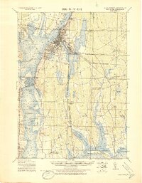
1919 Map of Fall River
USGS Topo · Published 1919About this map
Fall River serves as the industrial and maritime hub of this coastal survey, where the Quequechan River meets Mount Hope Bay and the Taunton River. The map meticulously details the dense urban infrastructure of the era, including the Old Colony Railroad and the New York New Haven and Hartford Railroad corridors that fueled the city's textile and trade prominence. Beyond the city center, the landscape transitions into the rural coastal villages of Bristol and Newport counties.
Find a feature on this map
77 named features on this map. Tap any name to fly to it.
Don’t see what you’re looking for? This feature index may not catch every label — zoom into the map to look around manually.
Map Details
Editions of this 1919 Fall River Map
This is the sole edition of this map. No revisions or reprints were ever made.
Other maps of this area
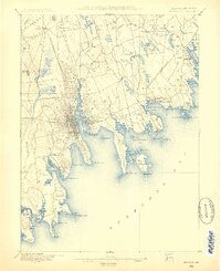
1885 · New Bedford
USGS Topo · 1:62,500
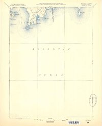
1885 · Sakonnet
USGS Topo · 1:62,500

1885 · Middleboro
USGS Topo · 1:62,500

1885 · Taunton
USGS Topo · 1:62,500

1887 · Providence
USGS Topo · 1:62,500
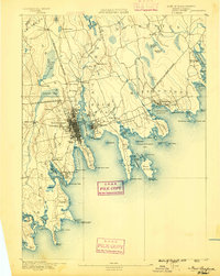
1888 · New Bedford
USGS Topo · 1:62,500
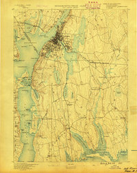
1888 · Fall River
USGS Topo · 1:62,500

1888 · Taunton
USGS Topo · 1:62,500
1888 · Middleboro
USGS Topo · 1:62,500
1888 · Sakonnet
USGS Topo · 1:62,500