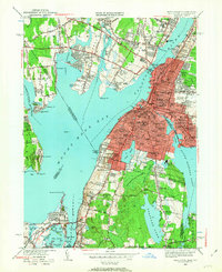
1949 Map of Fall River
USGS Topo · Published 1963About this map
Globe Village and the urban core of Fall River dominate the eastern shore of Mount Hope Bay in this 1949 revision. The industrial landscape is defined by its relationship with water, where the Quequechan River flows between South Watuppa Pond and the Taunton River. Dense residential blocks are peppered with an extraordinary concentration of neighborhood institutions, including the Durfee High School, the Home For The Aged, and numerous parochial centers like St Patricks Sch.
Find a feature on this map
168 named features on this map. Tap any name to fly to it.
Don’t see what you’re looking for? This feature index may not catch every label — zoom into the map to look around manually.
Map Details
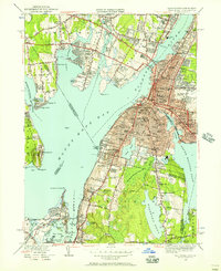
Editions of this 1949 Fall River Map
2 editions found
Other maps of this area

1885 · Taunton
USGS Topo · 1:62,500

1887 · Providence
USGS Topo · 1:62,500

1888 · Fall River
USGS Topo · 1:62,500

1888 · Taunton
USGS Topo · 1:62,500

1889 · Providence
USGS Topo · 1:62,500

1890 · Narragansett Bay
USGS Topo · 1:62,500

1892 · Narragansett Bay
USGS Topo · 1:62,500

1893 · Taunton
USGS Topo · 1:62,500

1893 · Fall River
USGS Topo · 1:62,500

1894 · Providence
USGS Topo · 1:62,500