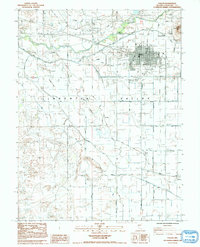
1985 Map of Fallon
USGS Topo · Published 1992About this map
Fallon serves as the focal point of this irrigation-focused landscape within the Lahon Tan Valley, where an intricate network of canals and drains defines the high desert environment. The Carson River is managed through features like the Coleman Diversion Dam, feeding an agricultural grid that supports the community and the nearby Indian Colony. This period shows the town's established infrastructure, from the Oats Park Sch and Churchill Co Cem to the Fallon Municipal Airport. To the south, the settlement of St Clair sits near the St Clair Cem, while the natural topography of Rattlesnake Hill and the vast Alkali Flats provide stark contrast to the engineered water system of the Soda Lake Drain and Sheckler Canal. The map documents a decade of growth and resource management in Churchill County during the early 1980s.
Find a feature on this map
43 named features on this map. Tap any name to fly to it.
Don’t see what you’re looking for? This feature index may not catch every label — zoom into the map to look around manually.
Map Details
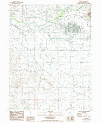
Editions of this 1985 Fallon Map
2 editions found
Other maps of this area

1908 · Carson Sink
USGS Topo · 1:250,000

1910 · Carson Sink
USGS Topo · 1:250,000

1950 · Stillwater
USGS Topo · 1:62,500

1951 · Carson Lake
USGS Topo · 1:62,500

1951 · Soda Lake
USGS Topo · 1:62,500

1951 · Fallon
USGS Topo · 1:62,500

1957 · Reno
USGS Topo · 1:250,000

1959 · Reno
USGS Topo · 1:250,000

1960 · Reno
USGS Topo · 1:250,000

1979 · Carson Sink
USGS Topo · 1:100,000