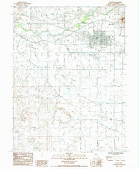
1985 Map of Fallon
USGS Topo · Published 1985About this map
Fallon and its surrounding agricultural valley appear in the mid-1980s as a complex network of irrigation and transportation. The Carson River dominates the landscape, diverted at the Coleman Diversion Dam into a system of canals that feed the arid Lahontan Valley. To the northwest, the volcanic forms of Soda Lake and Upper Soda Lake stand in contrast to the flat basin floor, while Rattlesnake Hill rises prominently to the northeast.
Find a feature on this map
34 named features on this map. Tap any name to fly to it.
Don’t see what you’re looking for? This feature index may not catch every label — zoom into the map to look around manually.
Map Details
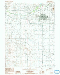
Editions of this 1985 Fallon Map
2 editions found
Other maps of this area

1908 · Carson Sink
USGS Topo · 1:250,000

1910 · Carson Sink
USGS Topo · 1:250,000

1950 · Stillwater
USGS Topo · 1:62,500

1951 · Carson Lake
USGS Topo · 1:62,500

1951 · Soda Lake
USGS Topo · 1:62,500

1951 · Fallon
USGS Topo · 1:62,500

1957 · Reno
USGS Topo · 1:250,000

1959 · Reno
USGS Topo · 1:250,000

1960 · Reno
USGS Topo · 1:250,000

1979 · Carson Sink
USGS Topo · 1:100,000