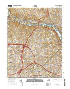
2016 Map of Falls Church
USGS Topo · Published 2016About this map
The Potomac River carves a winding boundary between Maryland and Virginia, defined here by a dense cluster of river islands such as Bear Island, Offutt Island, and Plummers Island. This modern survey illustrates the suburban expansion of Bethesda and Great Falls, where residential developments like Bannockburn Heights and Carderock Springs meet the protected greenways of the George Washington Memorial Parkway. A significant corridor of history is preserved along the northern bank within the Chesapeake and Ohio Canal National Historical Park, which sits adjacent to the sprawling David Taylor Model Basin research facility.
Find a feature on this map
169 named features on this map. Tap any name to fly to it.
Don’t see what you’re looking for? This feature index may not catch every label — zoom into the map to look around manually.
Map Details
Editions of this 2016 Falls Church Map
This is the sole edition of this map. No revisions or reprints were ever made.
Other maps of this area

1890 · Mt. Vernon
USGS Topo · 1:125,000

1891 · Mt. Vernon
USGS Topo · 1:125,000

1893 · Frederick
USGS Topo · 1:125,000

1894 · Frederick
USGS Topo · 1:125,000

1894 · Mt. Vernon
USGS Topo · 1:125,000

1897 · Mt. Vernon
USGS Topo · 1:125,000

1900 · Washington
USGS Topo · 1:62,500

1908 · Rockville
USGS Topo · 1:62,500

1908 · Seneca
USGS Topo · 1:62,500

1915 · Fairfax
USGS Topo · 1:62,500