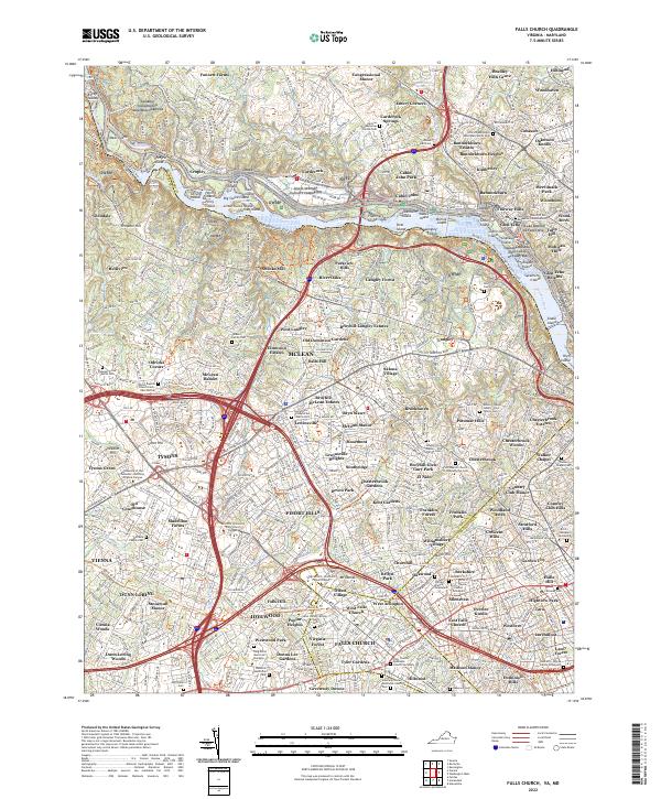
2022 Map of Falls Church
USGS Topo · Published 2022About this map
The Potomac River carves a dramatic boundary through this modern landscape, defining the border between Maryland and Virginia at The Potomac Gorge. On the northern bank, the Naval Support Facility Carderock and the Chesapeake and Ohio Canal Nat Hist Park occupy the riverfront, while established communities like Glen Echo and Cabin John sit atop the bluffs. To the south, the Virginia side is a dense network of suburban development and historical enclaves like Falls Church and McLean. Numerous family burial grounds, including the Adams-Nelson-Sewell-Hirst Family Cem and the Southern-Shreve Family Graveyard, are preserved amidst residential blocks. This map captures the modern footprint of these historic Northern Virginia and Maryland suburbs, where early family names persist in the landscape long after the original farms of Fawsett Farms and Swinks Mill have been subdivided.
Find a feature on this map
190 named features on this map. Tap any name to fly to it.
Don’t see what you’re looking for? This feature index may not catch every label — zoom into the map to look around manually.
Map Details
Editions of this 2022 Falls Church Map
This is the sole edition of this map. No revisions or reprints were ever made.
Other maps of this area

1890 · Mt. Vernon
USGS Topo · 1:125,000

1891 · Mt. Vernon
USGS Topo · 1:125,000

1893 · Frederick
USGS Topo · 1:125,000

1894 · Frederick
USGS Topo · 1:125,000

1894 · Mt. Vernon
USGS Topo · 1:125,000

1897 · Mt. Vernon
USGS Topo · 1:125,000

1900 · Washington
USGS Topo · 1:62,500

1908 · Rockville
USGS Topo · 1:62,500

1908 · Seneca
USGS Topo · 1:62,500

1915 · Fairfax
USGS Topo · 1:62,500