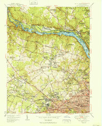
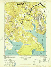
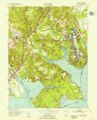
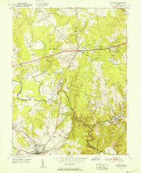
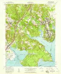
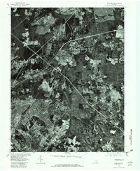
1951 Map of Falls Church
USGS Topo · Published 1951About this map
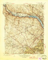
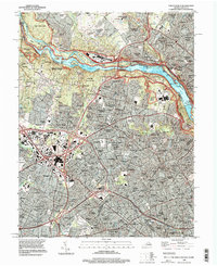
The Potomac River corridor dominates this mid-century portrait of Northern Virginia and Maryland, showcasing a landscape defined by its waterways and burgeoning suburban nodes. In Fairfax County, the transition from rural crossroads like Lewinsville and Bryn Mawr to the developing neighborhoods of McLean and Falls Church is evident. The intricate network of the Chesapeake and Ohio Canal is visible along the river's edge, including numbered locks from Lock 8 to Lock 19.
Find a feature on this map
168 named features on this map. Tap any name to fly to it.
Don’t see what you’re looking for? This feature index may not catch every label — zoom into the map to look around manually.
Map Details
Editions of this 1951 Falls Church Map
This is the sole edition of this map. No revisions or reprints were ever made.
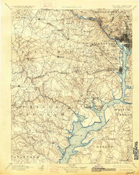
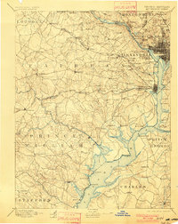
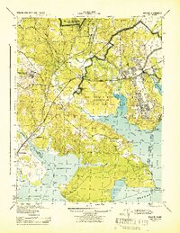
Historical Maps of Bethesda Through Time
21 maps found

1890 Mt. Vernon
Fairfax County, VA

1891 Mt. Vernon
Fairfax County, VA
1894 Mt. Vernon
Fairfax County, VA
1897 Mt. Vernon
Fairfax County, VA
1944 Belvoir
Fairfax County, VA
1945 Falls Church
Fairfax County, VA
1948 Belvoir
Fairfax County, VA
1951 Belvoir
Fairfax County, VA
1951 Falls Church
Fairfax County, VA
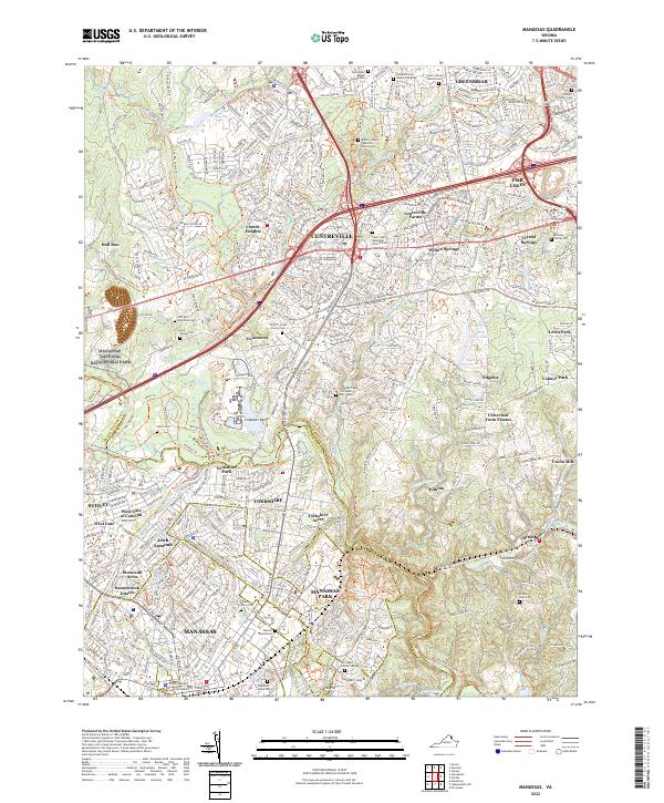
1951 Manassas
Fairfax County, VA
1956 Belvoir
Fairfax County, VA
1956 Falls Church
Fairfax County, VA

1957 Manassas
Fairfax County, VA
1965 Falls Church
Fairfax County, VA
1966 Manassas
Fairfax County, VA
1977 Manassas
Fairfax County, VA

1990 Manassas
Fairfax County, VA
1994 Falls Church
Fairfax County, VA
1994 Manassas
Fairfax County, VA
2022 Falls Church
Fairfax County, VA
2022 Manassas
Fairfax County, VA