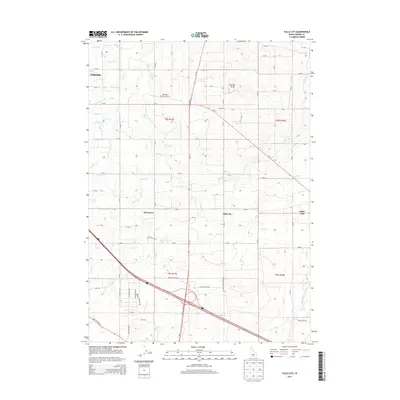
2013 Map of Falls City
USGS Topo · Published 2013About this map
Falls City and Barrymore anchor this agricultural landscape in Jerome County, defined by an intricate network of irrigation ditches and canals that transform the Snake River Plain. The map details a sophisticated water management system comprising the M Canal, L Canal, and K Canal, along with dozens of numbered laterals like Lateral L-37 and Lateral M-5 that supply the surrounding fields. This grid of water is interrupted only by natural volcanic landmarks such as Flat Top Butte and Sugar Loaf, which rise above the engineered terrain.
Find a feature on this map
78 named features on this map. Tap any name to fly to it.
Don’t see what you’re looking for? This feature index may not catch every label — zoom into the map to look around manually.
Map Details
Editions of this 2013 Falls City Map
This is the sole edition of this map. No revisions or reprints were ever made.
Other maps of this area

1950 · Filer
USGS Topo · 1:24,000

1950 · Jerome
USGS Topo · 1:24,000

1950 · Jerome
USGS Topo · 1:62,500

1955 · Twin Falls
USGS Topo · 1:250,000

1958 · Twin Falls
USGS Topo · 1:250,000

1964 · Kimberly
USGS Topo · 1:24,000

1964 · Falls City
USGS Topo · 1:24,000

1964 · Twin Falls
USGS Topo · 1:24,000

1964 · Perrine
USGS Topo · 1:24,000

1971 · Shoshone SE
USGS Topo · 1:24,000