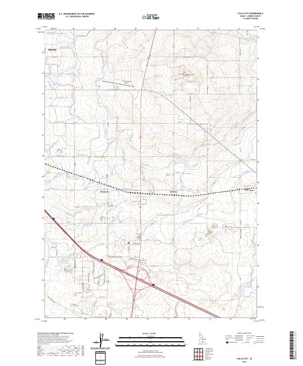
2024 Map of Falls City
USGS Topo · Published 2024About this map
The agrarian landscape surrounding Jerome is defined by a dense, systematic network of irrigation infrastructure essential to Magic Valley agriculture. This modern survey illustrates how water is distributed through primary arteries like the M Canal and L Canal, which feed a complex grid of smaller channels such as Lateral M-10 and PD-5 Ditch. These waterways dictate the layout of the local road system, where corridors like 100 North Rd and Klimes Rd navigate around geographic landmarks including Flat Top Butte and Sugar Loaf. Smaller rural hubs like Falls City and Barrymore anchor the central portion of the map, while the Jerome County Airport and the historic Shoshone Old Stage Rd reflect the area's evolving transportation history from early stage routes to modern aviation.
Find a feature on this map
66 named features on this map. Tap any name to fly to it.
Don’t see what you’re looking for? This feature index may not catch every label — zoom into the map to look around manually.
Map Details
Editions of this 2024 Falls City Map
This is the sole edition of this map. No revisions or reprints were ever made.
Other maps of this area

1950 · Filer
USGS Topo · 1:24,000

1950 · Jerome
USGS Topo · 1:24,000

1950 · Jerome
USGS Topo · 1:62,500

1955 · Twin Falls
USGS Topo · 1:250,000

1958 · Twin Falls
USGS Topo · 1:250,000

1964 · Kimberly
USGS Topo · 1:24,000

1964 · Falls City
USGS Topo · 1:24,000

1964 · Twin Falls
USGS Topo · 1:24,000

1964 · Perrine
USGS Topo · 1:24,000

1971 · Shoshone SE
USGS Topo · 1:24,000