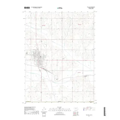
2017 Map of Falls City
USGS Topo · Published 2017About this map
Falls City serves as the primary hub of this Richardson County landscape, where an organized street grid meets the meandering waters of the Big Nemaha River. The area’s hydrological history is visible in the complex drainage patterns of Muddy Creek and the distinctive Old Channel Muddy Creek, illustrating how the waterways have been managed or naturally shifted over time. To the southeast, the small settlement of Preston sits near the river banks, while Stanton Lake and Brenner Field provide local landmarks on the outskirts of the city.
Find a feature on this map
65 named features on this map. Tap any name to fly to it.
Don’t see what you’re looking for? This feature index may not catch every label — zoom into the map to look around manually.
Map Details
Editions of this 2017 Falls City Map
This is the sole edition of this map. No revisions or reprints were ever made.
Other maps of this area

1885 · Atchison
USGS Topo · 1:125,000

1888 · Atchison
USGS Topo · 1:125,000

1888 · Hiawatha
USGS Topo · 1:125,000

1893 · Atchison
USGS Topo · 1:125,000

1894 · Hiawatha
USGS Topo · 1:125,000

1915 · Falls City
USGS Topo · 1:62,500

1920 · Craig
USGS Topo · 1:62,500

1950 · Kansas City
USGS Topo · 1:250,000

1954 · Kansas City
USGS Topo · 1:250,000

1955 · Nebraska City
USGS Topo · 1:250,000