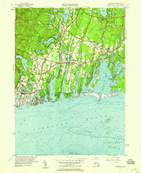
1957 Map of Falmouth
USGS Topo · Published 1958About this map
The coastal landscape of Barnstable County is defined here by a series of long, finger-like salt ponds and estuaries stretching toward Vineyard Sound. This mid-century survey captures the established residential character of Falmouth and East Falmouth, with detailed street grids extending into neighborhoods like Falmouth Heights and Mara Vista. The map records the area’s agricultural and recreational transition, showing numerous Cranberry Bogs alongside mid-century landmarks like the Drive-in Theater and a small Landing Strip. Along the eastern shoreline, the village of Waquoit and Washburn Island frame the protected waters of Waquoit Bay, while the interior is dotted with glacial kettle holes such as Coonamessett Pond and Jenkins Pond. Local genealogists will find several notable sites, including Oak Grove Cem and St Anthonys Cem.
Find a feature on this map
94 named features on this map. Tap any name to fly to it.
Don’t see what you’re looking for? This feature index may not catch every label — zoom into the map to look around manually.
Map Details
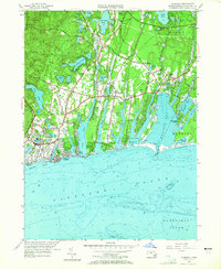
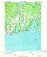
Editions of this 1957 Falmouth Map
3 editions found
Other maps of this area

1886 · Falmouth
USGS Topo · 1:62,500

1887 · Marthas Vineyard
USGS Topo · 1:62,500

1888 · Barnstable
USGS Topo · 1:62,500

1888 · Falmouth
USGS Topo · 1:62,500

1889 · Marthas Vineyard
USGS Topo · 1:62,500

1893 · Barnstable
USGS Topo · 1:62,500

1893 · Falmouth
USGS Topo · 1:62,500

1894 · Marthas Vineyard
USGS Topo · 1:62,500

1915 · Falmouth
USGS Topo · 1:62,500

1920 · Falmouth
USGS Topo · 1:62,500