Loading...
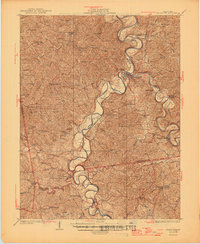
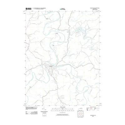
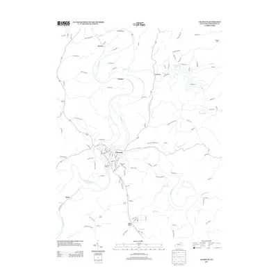
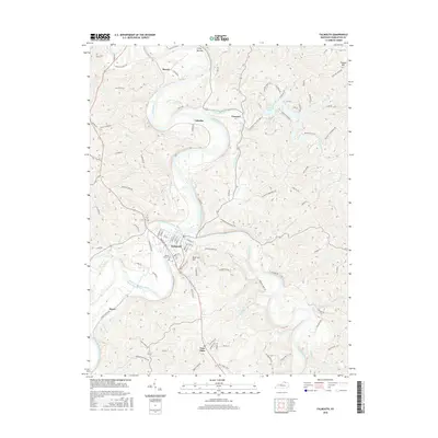
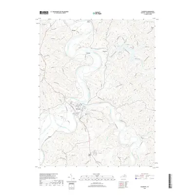
Loading map...1936 Map of Falmouth
USGS Topo · Published 1946About this map
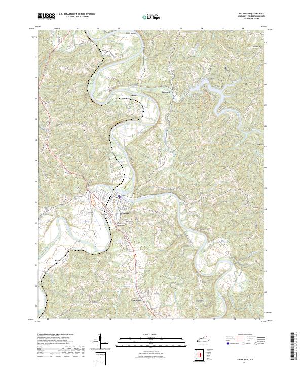
The Licking River and its various forks carve a winding path through this portion of Pendleton and Harrison counties, dictating the development of rural Kentucky in the mid-1930s. The Louisville and Nashville Railroad tracks parallel the water, connecting the county seat at Falmouth to southern points like Berry and Boyd. This area is characterized by a dense network of one-room schools and country churches that anchored community life before the era of district consolidation.
Find a feature on this map
74 named features on this map. Tap any name to fly to it.
Don’t see what you’re looking for? This feature index may not catch every label — zoom into the map to look around manually.
Map Details
Date Portrayed1936
Date Published1946
PublisherU.S. Geological Survey
Map TypeTopographic
Scale1:62,500
Physical Dimensions17.2 x 21 inches
Editions of this 1936 Falmouth Map
2 editions found
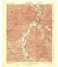
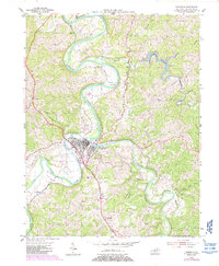
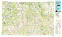
Historical Maps of Falmouth Through Time
9 maps found

Featured Locations
Source Details
SourceU.S. Geological Survey
CopyrightPublic Domain