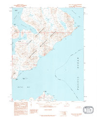
1995 Map of False Pass D-4
USGS Topo · Published 1995About this map
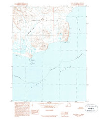
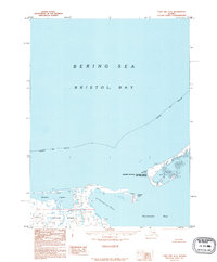
Alaska Peninsula National Wildlife Refuge dominates this 1995 provisional survey of the Aleutian landscape, where the northern tip of Unimak Island and the Ikatan Peninsula meet the turbulent waters of the Bering Sea and Pacific. The geography is defined by a series of deep coastal inlets, including Bechevin Bay, Morzhovoi Bay, and the sheltered Traders Cove. These waters were historical transit points for maritime activities, framed by dramatic landmarks like Traders Head and Kenmore Head.
Find a feature on this map
19 named features on this map. Tap any name to fly to it.
Don’t see what you’re looking for? This feature index may not catch every label — zoom into the map to look around manually.
Map Details
Editions of this 1995 False Pass D-4 Map
This is the sole edition of this map. No revisions or reprints were ever made.
Other maps of this area

1943 · Fort Randall
USGS Topo · 1:250,000
1944 · Cold Bay Sheet No. 20 of 25
USGS Topo · 1:25,000

1949 · False Pass
USGS Topo · 1:250,000

1949 · Fort Randall
USGS Topo · 1:250,000

1950 · False Pass
USGS Topo · 1:250,000

1950 · Fort Randall
USGS Topo · 1:250,000
1963 · False Pass D-3
USGS Topo · 1:63,360
1989 · False Pass C-4
USGS Topo · 1:63,360
1989 · False Pass C-5
USGS Topo · 1:63,360
1995 · Cold Bay A-5
USGS Topo · 1:63,360