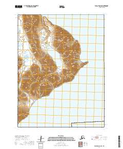
2020 Map of False Pass D-4 NE
USGS Topo · Published 2020About this map
Alaska Peninsula terrain dominates this coastal study, where the land meets the cold waters of Morzhovoi Bay. The topography is defined by significant elevations that rise sharply from the shoreline, culminating in the prominent coastal feature known as Kenmore Head. This 2020 survey illustrates the remote maritime environment of the Aleutians East Borough, showing the precise relationship between the steep inland contours and the bay's edge. The absence of roads or permanent settlements in this specific quadrangle highlights the wilderness character of the region, emphasizing the natural geography of the peninsula's southern reaches. Researchers can examine the detailed contouring that maps the transition from high ridgelines down to the tidal waters of the bay.
Find a feature on this map
7 named features on this map. Tap any name to fly to it.
Don’t see what you’re looking for? This feature index may not catch every label — zoom into the map to look around manually.
Map Details
Editions of this 2020 False Pass D-4 NE Map
This is the sole edition of this map. No revisions or reprints were ever made.
Other maps of this area

1943 · Fort Randall
USGS Topo · 1:250,000
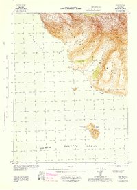
1944 · Cold Bay Sheet No. 20 of 25
USGS Topo · 1:25,000

1949 · False Pass
USGS Topo · 1:250,000

1949 · Fort Randall
USGS Topo · 1:250,000

1950 · False Pass
USGS Topo · 1:250,000

1950 · Fort Randall
USGS Topo · 1:250,000
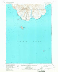
1963 · False Pass D-3
USGS Topo · 1:63,360
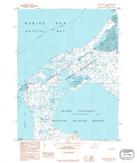
1995 · Cold Bay A-4
USGS Topo · 1:63,360
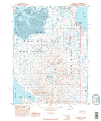
1995 · Cold Bay A-3
USGS Topo · 1:63,360
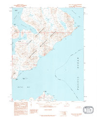
1995 · False Pass D-4
USGS Topo · 1:63,360