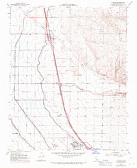
1953 Map of Famoso
USGS Topo · Published 1970About this map
Southern Pacific railroad tracks form the spine of this Central Valley landscape, tracing a direct line through small settlements and vast agricultural infrastructure. The community of Famoso serves as a central hub, while to the south, Minter Village sits adjacent to the Shafter Airport. This 1953 survey, with revisions through the late 1960s, documents a transition in water management as the Friant-Kern Canal, Lerdo Canal, and Calloway Canal crisscross the plains to feed the region's orchards and fields.
Find a feature on this map
28 named features on this map. Tap any name to fly to it.
Don’t see what you’re looking for? This feature index may not catch every label — zoom into the map to look around manually.
Map Details
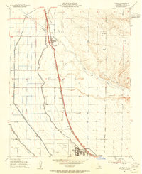
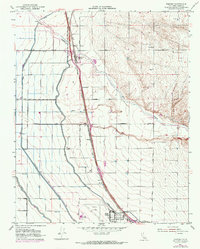
Editions of this 1953 Famoso Map
3 editions found
Other maps of this area

1906 · Bakersfield
USGS Topo · 1:62,500

1910 · Buena Vista Lake
USGS Topo · 1:125,000

1912 · Buena Vista Lake
USGS Topo · 1:125,000

1927 · McFarland
USGS Topo · 1:31,680

1930 · McFarland
USGS Topo · 1:31,680

1930 · Wasco
USGS Topo · 1:31,680

1930 · Pond
USGS Topo · 1:31,680

1930 · Famoso
USGS Topo · 1:31,680

1930 · Rosedale
USGS Topo · 1:31,680

1930 · Oildale
USGS Topo · 1:31,680