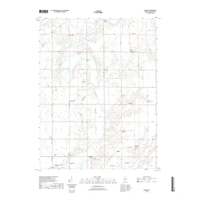
2018 Map of Fancher
USGS Topo · Published 2018About this map
The Kaskaskia River snakes through the center of this rural landscape, joined by numerous tributaries like Robinson Cr, Howe Cr, and Richland Cr. A significant cultural landmark, the Thompson Mill Covered Bridge spans the river south of Askins Lake, serving as a focal point for the region's historical transportation network. This area of Shelby County is notably dense with small family and community burial grounds, including the Gallagher Chapel Cem, Mount Carmel Cem, and Hodson Cem, which offer significant value for genealogists tracing local lineage. The small settlements of Fancher and Milne anchor the eastern side of the sheet, while the northern edge of Cowden appears in the southwest corner, illustrating the scattered rural development pattern typical of this era in central Illinois.
Find a feature on this map
43 named features on this map. Tap any name to fly to it.
Don’t see what you’re looking for? This feature index may not catch every label — zoom into the map to look around manually.
Map Details
Editions of this 2018 Fancher Map
This is the sole edition of this map. No revisions or reprints were ever made.
Other maps of this area

1941 · St. Elmo
USGS Topo · 1:62,500

1942 · Shelbyville
USGS Topo · 1:62,500

1945 · St. Elmo
USGS Topo · 1:62,500

1946 · Shelbyville
USGS Topo · 1:62,500

1947 · Stewardson
USGS Topo · 1:62,500

1949 · Stewardson
USGS Topo · 1:62,500

1950 · Effingham
USGS Topo · 1:62,500

1951 · Effingham
USGS Topo · 1:62,500

1958 · Decatur
USGS Topo · 1:250,000

1961 · Decatur
USGS Topo · 1:250,000