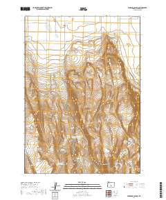
2020 Map of Fandango Canyon
USGS Topo · Published 2020About this map
Christmas Lake Valley defines the northern reaches of this landscape, where the Christmas Valley Hwy meets a grid of local roads including Carrico Rd and S Gloria Rd. The terrain transitions from these settled flats into the elevated topography of the Fandango Canyon and the high point at Juniper Top. This area of Lake County is characterized by a complex network of water management features essential for high-desert land use. Numerous reservoirs and waterholes are scattered across the southern sections, such as O'Leary Reservoir Number 4, Oletay Reservoir, and Horse Corral Reservoir. The presence of these named sites, along with Ripper Waterhole and North Saint Patrick Reservoir, indicates the historical importance of seasonal water catchment for ranching or agricultural efforts in the region's interior.
Find a feature on this map
31 named features on this map. Tap any name to fly to it.
Don’t see what you’re looking for? This feature index may not catch every label — zoom into the map to look around manually.
Map Details
Editions of this 2020 Fandango Canyon Map
This is the sole edition of this map. No revisions or reprints were ever made.
Other maps of this area

1955 · Crescent
USGS Topo · 1:250,000

1957 · Crescent
USGS Topo · 1:250,000

1958 · Crescent
USGS Topo · 1:250,000

1970 · Crescent
USGS Topo · 1:250,000

1981 · Fossil Lake
USGS Topo · 1:24,000

1982 · Christmas Lake
USGS Topo · 1:24,000
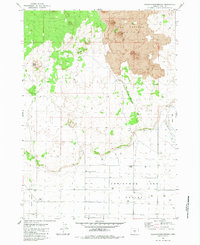
1983 · Crack-in-the-Ground
USGS Topo · 1:24,000

1986 · St. Patrick Mtn.
USGS Topo · 1:24,000
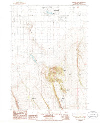
1986 · Christmas Valley
USGS Topo · 1:24,000
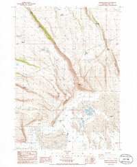
1986 · Sheeplick Draw
USGS Topo · 1:24,000