
1982 Map of Christmas Lake
USGS Topo · Published 1982About this map
Christmas Lake (Alkali) sits at the center of this 1980s landscape, an arid expanse defined by expansive alkali flats and a complex network of water management features. The terrain is dominated by the broad, low basins of Sucker Flat and Buffalo Flat, where the presence of numerous wells and a Water Tank suggests the importance of groundwater for grazing or land management in this high desert environment.
Find a feature on this map
18 named features on this map. Tap any name to fly to it.
Don’t see what you’re looking for? This feature index may not catch every label — zoom into the map to look around manually.
Map Details
Editions of this 1982 Christmas Lake Map
This is the sole edition of this map. No revisions or reprints were ever made.
Other maps of this area

1955 · Crescent
USGS Topo · 1:250,000

1957 · Crescent
USGS Topo · 1:250,000

1958 · Crescent
USGS Topo · 1:250,000

1970 · Crescent
USGS Topo · 1:250,000

1981 · Fossil Lake
USGS Topo · 1:24,000

1981 · Mean Rock Well
USGS Topo · 1:24,000

1982 · Peters Creek Sink
USGS Topo · 1:24,000

1982 · Jacks Place
USGS Topo · 1:24,000
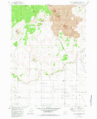
1983 · Crack-in-the-Ground
USGS Topo · 1:24,000
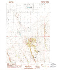
1986 · Christmas Valley
USGS Topo · 1:24,000