
1982 Map of Peters Creek Sink
USGS Topo · Published 1982About this map
Peters Creek Sink and the expansive Christmas Lake Valley define this high desert landscape in central Oregon. In the early 1980s, the area relied heavily on subterranean water sources, as evidenced by the numerous named wells like Sink Wells and Juniper Well scattered across the basin. The drainage of Peters Creek terminates here, creating a distinct hydrological feature where water disappears into the volcanic or alluvial sediments.
Find a feature on this map
12 named features on this map. Tap any name to fly to it.
Don’t see what you’re looking for? This feature index may not catch every label — zoom into the map to look around manually.
Map Details
Editions of this 1982 Peters Creek Sink Map
This is the sole edition of this map. No revisions or reprints were ever made.
Other maps of this area

1955 · Crescent
USGS Topo · 1:250,000

1957 · Crescent
USGS Topo · 1:250,000

1958 · Crescent
USGS Topo · 1:250,000

1970 · Crescent
USGS Topo · 1:250,000

1981 · Fossil Lake
USGS Topo · 1:24,000

1981 · Mean Rock Well
USGS Topo · 1:24,000

1982 · Christmas Lake
USGS Topo · 1:24,000

1982 · Jacks Place
USGS Topo · 1:24,000
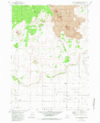
1983 · Crack-in-the-Ground
USGS Topo · 1:24,000
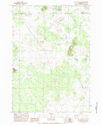
1983 · Last Chance Lake
USGS Topo · 1:24,000