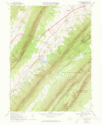
1966 Map of Fannettsburg
USGS Topo · Published 1973About this map
The ridge-and-valley landscape of Franklin County is defined here by the massive parallels of Tuscarora Mountain and Kittatinny Mountain. In the mid-1960s, this corridor served as a vital transportation artery, anchored by the Pennsylvania Turnpike and its Interchange 14 near Willow Hill. The village of Fannettsburg sits at the base of the mountain near Mountain Lake, while the narrow valleys between the peaks host isolated rural landmarks like Shady Pine Ch and the Horse Valley Cem. To the southeast, the terrain transitions into the restricted grounds of the Letterkenny Army Depot. The map also captures specialized infrastructure of the era, from the Burst Cabin Landing Strip tucked against the state forest boundary to the Tollgate controlling pike access, illustrating the mix of traditional mountain settlements and modern transit developments.
Find a feature on this map
58 named features on this map. Tap any name to fly to it.
Don’t see what you’re looking for? This feature index may not catch every label — zoom into the map to look around manually.
Map Details
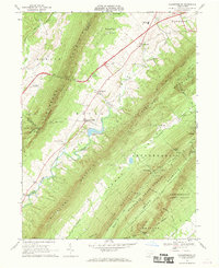
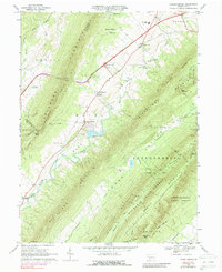
Editions of this 1966 Fannettsburg Map
Other maps of this area

1900 · Mercersburg
USGS Topo · 1:62,500

1902 · Chambersburg
USGS Topo · 1:62,500

1902 · Mercersburg
USGS Topo · 1:62,500

1923 · Shippensburg
USGS Topo · 1:62,500

1939 · Orbisonia
USGS Topo · 1:62,500

1940 · Orbisonia
USGS Topo · 1:62,500

1942 · Hagerstown
USGS Topo · 1:125,000

1943 · Hagerstown
USGS Topo · 1:125,000

1943 · Chambersburg
USGS Topo · 1:62,500

1943 · Mercersburg
USGS Topo · 1:62,500
Featured Places
- Metal Township, PA
- Hamilton Township, PA
- Letterkenny Township, PA
- St. Thomas Township, PA
- Dublin Township, PA