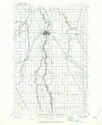
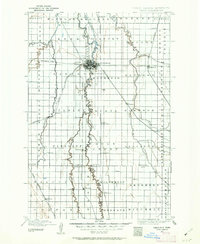
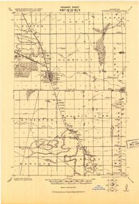
1895 Map of Fargo
USGS Topo · Published 1964About this map
The Red River flows northward through this late nineteenth-century landscape, defining the state boundary between North Dakota and Minnesota. The neighboring rail hubs of Fargo and Moorhead dominate the center of the sheet, where the Northern Pacific and Great Northern railroads intersect to create a regional transportation nexus. The surrounding prairie is carved by winding waterways including the Wild Rice River and Maple River, which supported early agricultural clusters like Horace and Wild Rice.
Find a feature on this map
73 named features on this map. Tap any name to fly to it.
Don’t see what you’re looking for? This feature index may not catch every label — zoom into the map to look around manually.
Map Details
Editions of this 1895 Fargo Map
3 editions found
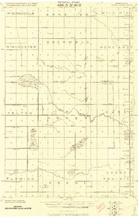
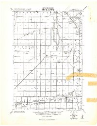
Other maps of this area

1895 · Fargo
USGS Topo · 1:125,000

1895 · Casselton
USGS Topo · 1:125,000

1897 · Fargo
USGS Topo · 1:125,000

1897 · Casselton
USGS Topo · 1:125,000

1904 · Wahpeton
USGS Topo · 1:125,000

1907 · Wyndmere
USGS Topo · 1:125,000
1918 · Ulen
USGS Topo · 1:62,500
1919 · Rothsay
USGS Topo · 1:62,500
1919 · Barnesville
USGS Topo · 1:62,500
1919 · Hawley
USGS Topo · 1:62,500