
Historical Maps of Fargo, North Dakota
What stories do these 38 old maps tell about Fargo's past? From 1895 to present day, these maps reveal the evolution of streets, neighborhoods, iconic landmarks, and natural features in stunning high-res detail. Whether you're a history enthusiast, genealogist, or professional in education, environmental work, or architecture, these maps are perfect for exploration, research, and discovery.
Discover Fargo's history through maps:
- Trace Fargo's growth: Explore earlier and latest maps and editions to uncover how the region changed over time.
- Examine technical details: Each map includes its creators, publishers, scale, dimensions, and full source information.
- Layer maps with modern tools & imagery: Compare historical maps to modern-day with high-resolution satellite imagery and detailed LiDAR layers.
- Sourced from trusted archives: Carefully preserved and digitized by institutions like the United Stated Geological Survey and the US Library of Congress.
- Access in any format: View and explore in high resolution, download for offline use, or order a museum-quality print for yourself or a loved one.
Begin your journey into Fargo's history with these remarkable must-see maps.
Fargo, ND maps
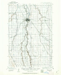
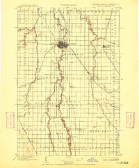
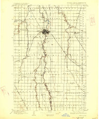
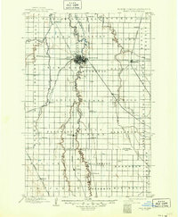
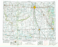
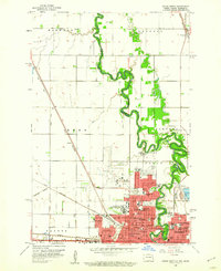
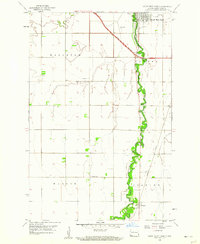
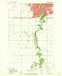
(38)- 1895 Map of Fargo, 1954 Print
 1895 Fargo1954 Print · USGSCovers Fargo, including West Fargo, Moorhead, and other nearby areas
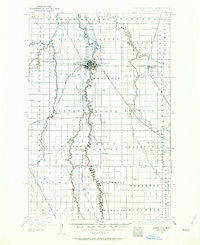
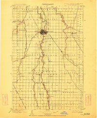
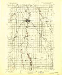
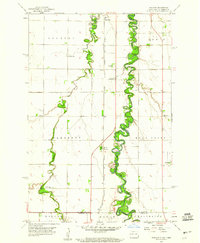
 - 1895 Map of Fargo, 1962 Print
 1895 Fargo1962 Print · USGSCovers Fargo, including West Fargo, Moorhead, and other nearby areas
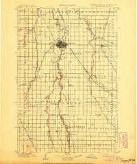
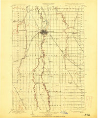
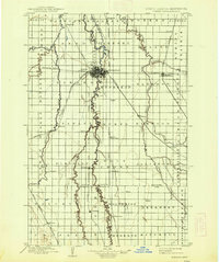
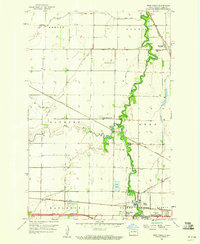
 - 1895 Map of Fargo, 1964 Print
 1895 Fargo1964 Print · USGSCovers Fargo, including West Fargo, Moorhead, and other nearby areas
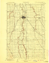
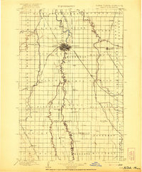
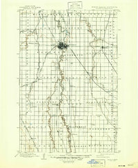
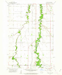
 - 1897 Map of Fargo
 1897 Fargo1897 Print · USGSCovers Fargo, including West Fargo, Moorhead, and other nearby areas
 - 1897 Map of Fargo, 1905 Print
 1897 Fargo1905 Print · USGSCovers Fargo, including West Fargo, Moorhead, and other nearby areas
 - 1897 Map of Fargo, 1908 Print
 1897 Fargo1908 Print · USGSCovers Fargo, including West Fargo, Moorhead, and other nearby areas
 - 1897 Map of Fargo, 1909 Print
 1897 Fargo1909 Print · USGSCovers Fargo, including West Fargo, Moorhead, and other nearby areas
 - 1897 Map of Fargo, 1912 Print
 1897 Fargo1912 Print · USGSCovers Fargo, including West Fargo, Moorhead, and other nearby areas
 - 1897 Map of Fargo, 1914 Print
 1897 Fargo1914 Print · USGSCovers Fargo, including West Fargo, Moorhead, and other nearby areas
 - 1897 Map of Fargo, 1921 Print
 1897 Fargo1921 Print · USGSCovers Fargo, including West Fargo, Moorhead, and other nearby areas
 - 1897 Map of Fargo, 1926 Print
 1897 Fargo1926 Print · USGSCovers Fargo, including West Fargo, Moorhead, and other nearby areas
 - 1897 Map of Fargo, 1931 Print
 1897 Fargo1931 Print · USGSCovers Fargo, including West Fargo, Moorhead, and other nearby areas
 - 1897 Map of Fargo, 1938 Print
 1897 Fargo1938 Print · USGSCovers Fargo, including West Fargo, Moorhead, and other nearby areas
 - 1897 Map of Fargo, 1947 Print
 1897 Fargo1947 Print · USGSCovers Fargo, including West Fargo, Moorhead, and other nearby areas
 - 1897 Map of Fargo, 1949 Print
 1897 Fargo1949 Print · USGSCovers Fargo, including West Fargo, Moorhead, and other nearby areas
 - 1953 Map of Fargo, 1965 Print
 1953 Fargo1965 Print · USGSCovers Fargo, including West Fargo, Moorhead, and other nearby areas
 - 1953 Map of Fargo, 1977 Print
 1953 Fargo1977 Print · USGSCovers Fargo, including West Fargo, Moorhead, and other nearby areas
 - 1956 Map of Fargo
 1956 Fargo1956 Print · USGSCovers Fargo, including West Fargo, Moorhead, and other nearby areas
 - 1959 Map of Fargo North, 1960 Print
 1959 Fargo North1960 Print · USGSCovers Fargo, including West Fargo, Moorhead, and other nearby areas
 - 1959 Map of South West Fargo, 1960 Print
 1959 South West Fargo1960 Print · USGSCovers Fargo, including West Fargo, Horace, and other nearby areas
 - 1959 Map of Fargo South, 1960 Print
 1959 Fargo South1960 Print · USGSCovers Fargo, including West Fargo, Moorhead, and other nearby areas
 - 1959 Map of Hickson, 1960 Print
 1959 Hickson1960 Print · USGSCovers Fargo, including Horace, Oxbow, and other nearby areas
 - 1959 Map of West Fargo, 1960 Print
 1959 West Fargo1960 Print · USGSCovers Fargo, including West Fargo, Harwood, and other nearby areas
 - 1959 Map of Hickson, 1963 Print
 1959 Hickson1963 Print · USGSCovers Fargo, including Horace, Oxbow, and other nearby areas
 - 1959 Map of South West Fargo, 1973 Print
 1959 South West Fargo1973 Print · USGSCovers Fargo, including West Fargo, Horace, and other nearby areas
Showing maps 1-25 of 38
Top neighborhoods in Fargo
- Riviera Heights historical maps
- Stonebridge Farms 1st Addition historical maps
- Riverwood 4th Addition historical maps
- Stonebridge Farms 2nd Addition historical maps
- Riverwood 5th Addition historical maps
- Edgewood Estates Addition historical maps
See more
Frequently asked questions
- What are the different types of historical maps available for Fargo?
- What is the oldest map of Fargo?
- Where can I purchase historical maps of Fargo for my home or office?
- Where can I download high-res historical maps of Fargo?
- Are there historical topographic maps available for Fargo?
- Is there historical aerial imagery available for Fargo?
- Where are historical maps of Fargo sourced from?