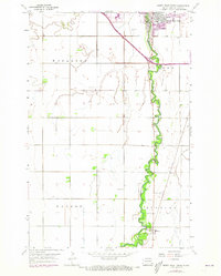
1959 Map of South West Fargo
USGS Topo · Published 1973About this map
The Sheyenne River snakes through the center of this Red River Valley landscape, defining the character of the borderlands between Mapleton, Barnes, Warren, and Stanley townships. In the early 1970s, the growing community of South West Fargo occupies the northeast corner, while the small settlement of Horace anchors the southeastern reaches of the map. The era's transportation and utility infrastructure is clearly visible, from the Burlington Northern railroad line cutting through the prairie to the Radio Tower and Substation that supported local development.
Find a feature on this map
18 named features on this map. Tap any name to fly to it.
Don’t see what you’re looking for? This feature index may not catch every label — zoom into the map to look around manually.
Map Details
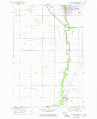
Editions of this 1959 South West Fargo Map
3 editions found
Other maps of this area

1895 · Fargo
USGS Topo · 1:125,000

1895 · Casselton
USGS Topo · 1:125,000

1897 · Fargo
USGS Topo · 1:125,000

1897 · Casselton
USGS Topo · 1:125,000

1953 · Fargo
USGS Topo · 1:250,000

1956 · Fargo
USGS Topo · 1:250,000

1959 · Kindred
USGS Topo · 1:24,000

1959 · Fargo North
USGS Topo · 1:24,000

1959 · South West Fargo
USGS Topo · 1:24,000

1959 · Fargo South
USGS Topo · 1:24,000