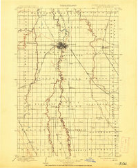
1897 Map of Fargo
USGS Topo · Published 1914About this map
The Red River and its winding tributaries define the landscape of the Red River Valley in this survey from the 1890s. The border between North Dakota and Minnesota is traced by the river's path, connecting the burgeoning hubs of Fargo and Moorhead. This era represents a peak in rail development, with the Great Northern and Northern Pacific railroads intersecting at several points, including the Main Line junction at Glyndon.
Find a feature on this map
74 named features on this map. Tap any name to fly to it.
Don’t see what you’re looking for? This feature index may not catch every label — zoom into the map to look around manually.
Map Details
Editions of this 1897 Fargo Map
12 editions found

1897 edition
15.1 x 20.1 inches
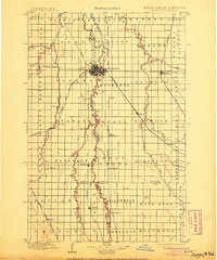
1905 edition
16.6 x 19.9 inches
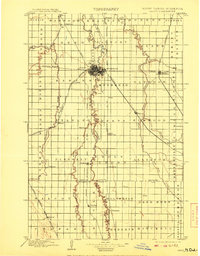
1908 edition
15.6 x 19.9 inches
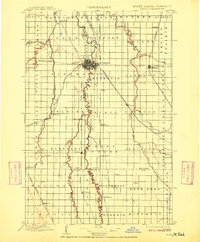
1909 edition
16.5 x 19.9 inches
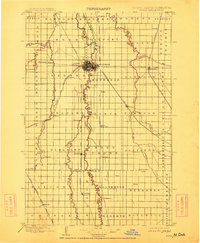
1912 edition
16.5 x 20 inches
1914 edition
16.5 x 19.9 inches
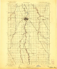
1921 edition
16.5 x 19.9 inches
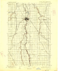
1926 edition
16.5 x 19.9 inches
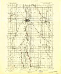
1931 edition
16.5 x 20 inches
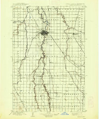
1938 edition
16.6 x 19.8 inches
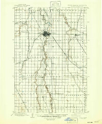
1947 edition
17 x 20.7 inches
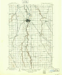
1949 edition
17.1 x 20.8 inches
Other maps of this area

1895 · Fargo
USGS Topo · 1:125,000

1895 · Casselton
USGS Topo · 1:125,000
1897 · Fargo
USGS Topo · 1:125,000

1897 · Casselton
USGS Topo · 1:125,000

1904 · Wahpeton
USGS Topo · 1:125,000

1907 · Wyndmere
USGS Topo · 1:125,000

1918 · Ulen
USGS Topo · 1:62,500

1919 · Rothsay
USGS Topo · 1:62,500

1919 · Barnesville
USGS Topo · 1:62,500

1919 · Hawley
USGS Topo · 1:62,500