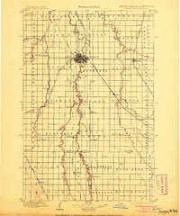
1897 Map of Fargo
USGS Topo · Published 1905About this map
The Red River of the North winds through the heart of this late-19th-century landscape, serving as the border between North Dakota and Minnesota. This era saw the rapid expansion of the Red River Valley as a premier agricultural and transportation hub, anchored by the growing sister cities of Fargo and Moorhead. The map reveals a dense network of iron rails facilitating this growth, including the Northern Pacific R. R. and the Great Northern R. R.. Small railway stops and rural townships like Kragnes, Glyndon, and Kurtz (Elmer Sta.) punctuate the grid, many serving as vital grain collection points. The survey also captures the courses of the Sheyenne River and Buffalo River, highlighting the natural drainage systems that supported the region's productive soil before the further modernization of the 20th century.
Find a feature on this map
76 named features on this map. Tap any name to fly to it.
Don’t see what you’re looking for? This feature index may not catch every label — zoom into the map to look around manually.
Map Details
Editions of this 1897 Fargo Map
12 editions found

1897 edition
15.1 x 20.1 inches
1905 edition
16.6 x 19.9 inches
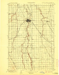
1908 edition
15.6 x 19.9 inches
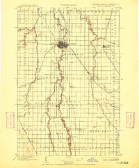
1909 edition
16.5 x 19.9 inches
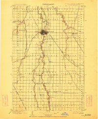
1912 edition
16.5 x 20 inches
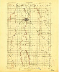
1914 edition
16.5 x 19.9 inches
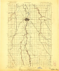
1921 edition
16.5 x 19.9 inches
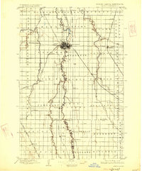
1926 edition
16.5 x 19.9 inches
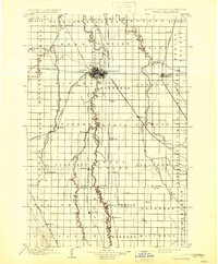
1931 edition
16.5 x 20 inches
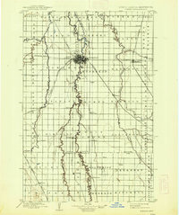
1938 edition
16.6 x 19.8 inches
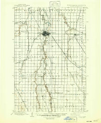
1947 edition
17 x 20.7 inches
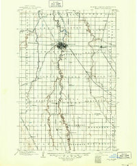
1949 edition
17.1 x 20.8 inches
Other maps of this area

1895 · Fargo
USGS Topo · 1:125,000

1895 · Casselton
USGS Topo · 1:125,000
1897 · Fargo
USGS Topo · 1:125,000

1897 · Casselton
USGS Topo · 1:125,000

1904 · Wahpeton
USGS Topo · 1:125,000

1907 · Wyndmere
USGS Topo · 1:125,000

1918 · Ulen
USGS Topo · 1:62,500

1919 · Rothsay
USGS Topo · 1:62,500

1919 · Barnesville
USGS Topo · 1:62,500

1919 · Hawley
USGS Topo · 1:62,500