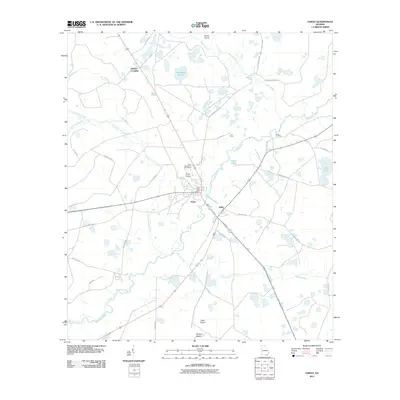
2011 Map of Fargo
USGS Topo · Published 2011About this map
The Suwannee River and Suwannochee Creek converge in this corner of Clinch County, where the settlement of Fargo serves as a local hub. The presence of the Fargo Post Office, Fargo Airport, and the Fargo Recreation Golf Course reflects the town's role as a developed center amidst a landscape of low-lying wetlands and islands. Distinctive swamp features such as Horseshoe Swamp, Rozier Island, and Wildcat Island suggest the complex hydrology of the region, where water bodies like Coffee Lake and Long Pond are linked by a network of branches including Tatum Creek and Cypress Creek.
Find a feature on this map
39 named features on this map. Tap any name to fly to it.
Don’t see what you’re looking for? This feature index may not catch every label — zoom into the map to look around manually.
Map Details
Editions of this 2011 Fargo Map
This is the sole edition of this map. No revisions or reprints were ever made.
Other maps of this area

1954 · Valdosta
USGS Topo · 1:250,000

1955 · Council
USGS Topo · 1:24,000

1955 · Fargo SW
USGS Topo · 1:24,000

1956 · Sargent
USGS Topo · 1:24,000

1958 · Valdosta
USGS Topo · 1:250,000

1959 · Valdosta
USGS Topo · 1:250,000

1966 · The Pocket
USGS Topo · 1:24,000

1967 · Strange Island
USGS Topo · 1:24,000

1967 · Colon
USGS Topo · 1:24,000

1967 · Sargent
USGS Topo · 1:24,000