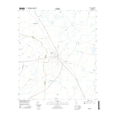
2014 Map of Fargo
USGS Topo · Published 2014About this map
The Suwannee River carves a winding path through this region of Clinch and Echols Counties, serving as the central drainage for a landscape defined by expansive wetlands and low-lying rises. The settlement of Fargo acts as a regional hub, situated at the crossroads of Us-441 and Ga-94. The map reveals a complex hydrologic network including Horseshoe Swamp, Cypress Cr, and the isolated waters of Coffee Lake.
Find a feature on this map
53 named features on this map. Tap any name to fly to it.
Don’t see what you’re looking for? This feature index may not catch every label — zoom into the map to look around manually.
Map Details
Editions of this 2014 Fargo Map
This is the sole edition of this map. No revisions or reprints were ever made.
Other maps of this area

1954 · Valdosta
USGS Topo · 1:250,000

1955 · Council
USGS Topo · 1:24,000

1955 · Fargo SW
USGS Topo · 1:24,000

1956 · Sargent
USGS Topo · 1:24,000

1958 · Valdosta
USGS Topo · 1:250,000

1959 · Valdosta
USGS Topo · 1:250,000

1966 · The Pocket
USGS Topo · 1:24,000

1967 · Strange Island
USGS Topo · 1:24,000

1967 · Colon
USGS Topo · 1:24,000

1967 · Sargent
USGS Topo · 1:24,000