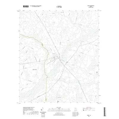
2020 Map of Fargo
USGS Topo · Published 2020About this map
The Suwannee River carves through the landscape of southeast Georgia, defining the life and layout of the town of Fargo and the smaller settlement of Edith. This region is a complex network of wetlands and islands, where the Suwannoochee Cr and Cypress Cr feed into expansive water bodies like Double Run Swamp and Horseshoe Swamp. The map reveals how local infrastructure, such as the Fargo Airport and the winding Woodpecker Rd, navigates a terrain of "bays" and named islands like Wildcat Island and Rozier Island.
Find a feature on this map
68 named features on this map. Tap any name to fly to it.
Don’t see what you’re looking for? This feature index may not catch every label — zoom into the map to look around manually.
Map Details
Editions of this 2020 Fargo Map
This is the sole edition of this map. No revisions or reprints were ever made.
Other maps of this area

1954 · Valdosta
USGS Topo · 1:250,000

1955 · Council
USGS Topo · 1:24,000

1955 · Fargo SW
USGS Topo · 1:24,000

1956 · Sargent
USGS Topo · 1:24,000

1958 · Valdosta
USGS Topo · 1:250,000

1959 · Valdosta
USGS Topo · 1:250,000

1966 · The Pocket
USGS Topo · 1:24,000

1967 · Strange Island
USGS Topo · 1:24,000

1967 · Colon
USGS Topo · 1:24,000

1967 · Sargent
USGS Topo · 1:24,000