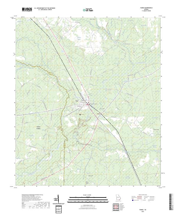
2024 Map of Fargo
USGS Topo · Published 2024About this map
Fargo sits at a historic crossroads in southern Georgia, serving as a gateway to the expansive Okefenokee National Wildlife Refuge. This landscape is defined by the winding Suwannee River and its many tributaries, including Suwanneechee Creek and Tatum Creek. The map details a transition from the structured street grid of Fargo, featuring names like Martin Luther King Dr and Alfred Griffis Rd, into the dense wetlands of Double Run Swamp and Okefenokee Swamp. Local history and genealogy are preserved through several rural burial grounds, including Fargo Memorial Cem, Edith Cem, and Cone Cem. The settlement of Edith and the nearby Fargo Airport mark the southern edge of Clinch County, where the terrain is punctuated by isolated high points such as Wildcat Island, Little Island, and Rough Island rising above the surrounding bays and swamps.
Find a feature on this map
69 named features on this map. Tap any name to fly to it.
Don’t see what you’re looking for? This feature index may not catch every label — zoom into the map to look around manually.
Map Details
Editions of this 2024 Fargo Map
This is the sole edition of this map. No revisions or reprints were ever made.
Other maps of this area

1954 · Valdosta
USGS Topo · 1:250,000

1955 · Council
USGS Topo · 1:24,000

1955 · Fargo SW
USGS Topo · 1:24,000

1956 · Sargent
USGS Topo · 1:24,000

1958 · Valdosta
USGS Topo · 1:250,000

1959 · Valdosta
USGS Topo · 1:250,000

1966 · The Pocket
USGS Topo · 1:24,000

1967 · Strange Island
USGS Topo · 1:24,000

1967 · Colon
USGS Topo · 1:24,000

1967 · Sargent
USGS Topo · 1:24,000