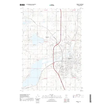
2019 Map of Faribault
USGS Topo · Published 2019About this map
The Cannon River and Straight River converge in Faribault, a regional hub in Rice County defined by its proximity to a chain of significant glacial lakes. This modern topographic survey illustrates the density of the city's residential and educational infrastructure, including the South Central College Faribault Campus. To the north and west, the landscape transitions into a mosaic of water bodies such as Roberds Lake, Dudley Lake, and Wells Lake, which have long shaped the recreational and geographic character of the area.
Find a feature on this map
100 named features on this map. Tap any name to fly to it.
Don’t see what you’re looking for? This feature index may not catch every label — zoom into the map to look around manually.
Map Details
Editions of this 2019 Faribault Map
This is the sole edition of this map. No revisions or reprints were ever made.
Other maps of this area

1953 · Saint Paul
USGS Topo · 1:250,000

1959 · Saint Paul
USGS Topo · 1:250,000

1960 · Faribault
USGS Topo · 1:24,000

1960 · Northfield
USGS Topo · 1:24,000

1960 · Cannon City
USGS Topo · 1:24,000

1960 · Shieldsville
USGS Topo · 1:24,000

1960 · Lonsdale
USGS Topo · 1:24,000

1960 · Little Chicago
USGS Topo · 1:24,000

1962 · Medford East
USGS Topo · 1:24,000

1962 · Morristown
USGS Topo · 1:24,000