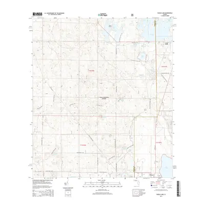
2015 Map of Farles Lake
USGS Topo · Published 2015About this map
Ocala National Forest dominates this Central Florida landscape, revealing a complex network of equestrian trails and scenic pathways within the scrub and pine flatwoods. The southern portion of the quadrangle shows the small settlement of Pittman near the shores of Lake Dorr, while further north, Camp Ocala serves as a notable landmark near the Marion and Lake County line. The map highlights the area's unique karst topography, featuring numerous basins and sinkholes such as Blue Sink, Sink Hole Ponds, and Greens Waterhole.
Find a feature on this map
39 named features on this map. Tap any name to fly to it.
Don’t see what you’re looking for? This feature index may not catch every label — zoom into the map to look around manually.
Map Details
Editions of this 2015 Farles Lake Map
This is the sole edition of this map. No revisions or reprints were ever made.
Other maps of this area

1954 · Daytona Beach
USGS Topo · 1:250,000

1955 · Orlando
USGS Topo · 1:250,000

1957 · Orlando
USGS Topo · 1:250,000

1958 · Orlando
USGS Topo · 1:250,000

1958 · Daytona Beach
USGS Topo · 1:250,000

1962 · Orlando
USGS Topo · 1:250,000

1964 · Daytona Beach
USGS Topo · 1:250,000

1965 · Umatilla
USGS Topo · 1:24,000
1965 · Paisley
USGS Topo · 1:24,000
1966 · Emeralda Island
USGS Topo · 1:24,000