
1974 Map of Farley
USGS Topo · Published 1977About this map
Farley and the surrounding high plains of northeastern New Mexico are defined by a network of drainage channels and cattle-ranching infrastructure in this mid-1970s survey. The landscape is etched with the courses of Sand Arroyo, Wilson Arroyo, and Holkeo Creek, where Muller Dam manages the scarce water resources of the region. This area, spanning the Colfax and Union County line, shows a sparse but organized settlement pattern. The map identifies specific property locations such as the Hacienda de los Muchachos and Anderson Well, reflecting the long-standing ranching traditions of the territory. Industrial activity is minimal but present, noted by a Gravel Pit and scattered wells, including Lanier Lake. The detailed inclusion of fence lines throughout the quadrangle highlights the importance of land division and range management in this remote section of the state.
Find a feature on this map
12 named features on this map. Tap any name to fly to it.
Don’t see what you’re looking for? This feature index may not catch every label — zoom into the map to look around manually.
Map Details
Editions of this 1974 Farley Map
This is the sole edition of this map. No revisions or reprints were ever made.
Other maps of this area

1954 · Raton
USGS Topo · 1:250,000

1954 · Dalhart
USGS Topo · 1:250,000

1958 · Raton
USGS Topo · 1:250,000

1958 · Dalhart
USGS Topo · 1:250,000

1962 · Dalhart
USGS Topo · 1:250,000

1973 · Gladstone NW
USGS Topo · 1:24,000

1974 · Point Of Rocks Mesa
USGS Topo · 1:24,000
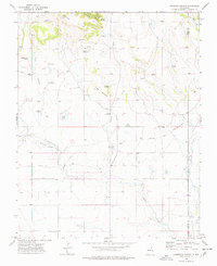
1974 · Lawrence Arroyo
USGS Topo · 1:24,000

1974 · Spear Hills
USGS Topo · 1:24,000
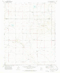
1974 · Divine Lake
USGS Topo · 1:24,000