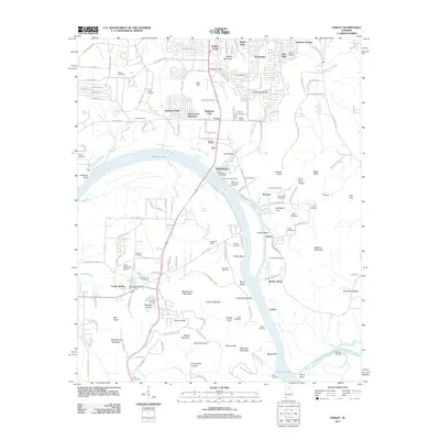
2011 Map of Farley
USGS Topo · Published 2011About this map
The Tennessee River and Wheeler Lake anchor this 2011 survey of the southern Huntsville area, where the river's path is marked by substantial industrial and recreational landmarks. Significant infrastructure like the Alabama State Docks Terminal and Ditto Landing Marina sits near the historical Chickasaw Old Fields, while the Huntsville Speedway and South Huntsville Airport indicate the modern development of the region. The landscape is defined by the sharp contrast between the river basin and the surrounding peaks, including Mathis Mountain, McCutcheon Mountain, and Whitesburg Mountain.
Find a feature on this map
164 named features on this map. Tap any name to fly to it.
Don’t see what you’re looking for? This feature index may not catch every label — zoom into the map to look around manually.
Map Details
Editions of this 2011 Farley Map
This is the sole edition of this map. No revisions or reprints were ever made.
Other maps of this area

1885 · Gadsden
USGS Topo · 1:125,000

1888 · Cullman
USGS Topo · 1:125,000

1888 · Gadsden
USGS Topo · 1:125,000

1888 · Scottsboro
USGS Topo · 1:125,000

1888 · Huntsville
USGS Topo · 1:125,000

1892 · Cullman
USGS Topo · 1:125,000

1892 · Huntsville
USGS Topo · 1:125,000

1892 · Scottsboro
USGS Topo · 1:125,000

1892 · Gadsden
USGS Topo · 1:125,000

1895 · Gadsden
USGS Topo · 1:125,000