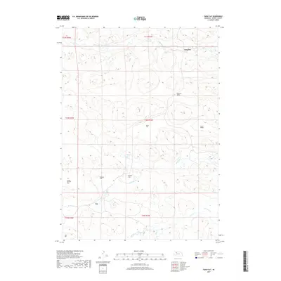
2017 Map of Farm Flat
USGS Topo · Published 2017About this map
Doughboy sits at the northern edge of this Nebraska landscape, where the Snake River winds past Horseshoe Bend Pond. The terrain is defined by a series of expansive, named plateaus and depressions that hint at the cattle-ranching heritage of Cherry County. Notable landforms such as Farm Flat, Enscow Flat, and Winter Flat dominate the central and southern reaches, while the elevation rises toward Aljo Hill in the southwest corner.
Find a feature on this map
23 named features on this map. Tap any name to fly to it.
Don’t see what you’re looking for? This feature index may not catch every label — zoom into the map to look around manually.
Map Details
Editions of this 2017 Farm Flat Map
This is the sole edition of this map. No revisions or reprints were ever made.
Other maps of this area

1949 · Big Falls
USGS Topo · 1:62,500

1950 · Powderhorn Valley
USGS Topo · 1:62,500

1950 · Doughboy
USGS Topo · 1:62,500

1950 · Wolf Lake
USGS Topo · 1:62,500

1951 · Big Falls
USGS Topo · 1:62,500

1951 · Wolf Lake
USGS Topo · 1:62,500

1952 · Doughboy
USGS Topo · 1:62,500

1957 · Valentine
USGS Topo · 1:250,000

1959 · Valentine
USGS Topo · 1:250,000

1985 · Powderhorn Valley SW
USGS Topo · 1:24,000