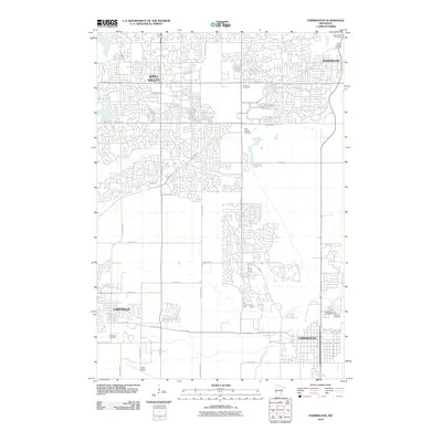
2010 Map of Farmington
USGS Topo · Published 2010About this map
The Farmington area of Dakota County exhibits a landscape of rapid suburban growth alongside established rural features at the dawn of the 2010s. This survey details the expanding residential networks of Apple Valley and Rosemount in the north, contrasting with the more structured street grid of historical Farmington to the south. The southern portion of the quadrangle retains a strong aviation and industrial presence centered around Airlake Airport near Lakeville.
Find a feature on this map
35 named features on this map. Tap any name to fly to it.
Don’t see what you’re looking for? This feature index may not catch every label — zoom into the map to look around manually.
Map Details
Editions of this 2010 Farmington Map
This is the sole edition of this map. No revisions or reprints were ever made.
Other maps of this area

1896 · Minneapolis
USGS Topo · 1:62,500

1896 · St. Paul
USGS Topo · 1:62,500

1901 · Minneapolis
USGS Topo · 1:62,500

1951 · Inver Grove
USGS Topo · 1:24,000

1951 · St. Paul SW
USGS Topo · 1:24,000

1951 · St. Paul
USGS Topo · 1:62,500

1953 · Saint Paul
USGS Topo · 1:250,000

1954 · Bloomington
USGS Topo · 1:24,000

1954 · Minneapolis
USGS Topo · 1:62,500

1957 · Farmington
USGS Topo · 1:62,500