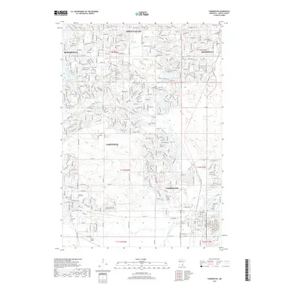
2019 Map of Farmington
USGS Topo · Published 2019About this map
Lakeville and Farmington anchor this survey of the southern Twin Cities metro area, where suburban expansion meets the agricultural roots of Dakota County. The landscape is defined by its transition from the developed residential blocks of Apple Valley and Burnsville in the north toward the open fields and riparian corridors of the south. The Vermillion River meanders through the southern townships, providing a natural contrast to the grid of modern thoroughfares like Dodd Blvd and Pilot Knob Rd. Genealogists will find a high concentration of community burial grounds throughout the area, including Saint Joseph Cem, Lakeville Grove Cem, and Corinthian Cem. In the southwest, the Airlake Airport serves as a significant regional landmark, marking the industrial edge of the contemporary township layout.
Find a feature on this map
49 named features on this map. Tap any name to fly to it.
Don’t see what you’re looking for? This feature index may not catch every label — zoom into the map to look around manually.
Map Details
Editions of this 2019 Farmington Map
This is the sole edition of this map. No revisions or reprints were ever made.
Other maps of this area

1896 · Minneapolis
USGS Topo · 1:62,500

1896 · St. Paul
USGS Topo · 1:62,500

1901 · Minneapolis
USGS Topo · 1:62,500

1951 · Inver Grove
USGS Topo · 1:24,000

1951 · St. Paul SW
USGS Topo · 1:24,000

1951 · St. Paul
USGS Topo · 1:62,500

1953 · Saint Paul
USGS Topo · 1:250,000

1954 · Bloomington
USGS Topo · 1:24,000

1954 · Minneapolis
USGS Topo · 1:62,500

1957 · Farmington
USGS Topo · 1:62,500