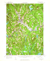
1956 Map of Farmington
USGS Topo · Published 1964About this map
The Sandy River winds through the heart of this Franklin County landscape, anchoring the regional commerce of Farmington and West Farmington during the mid-1950s. The Maine Central railroad corridor remains a primary artery, connecting manufacturing and transit points like Dryden (Wilton Sta) and North Jay. This survey reveals a high density of rural institutions that served the hill farms and mill villages, including the North Vienna Ch and localized education centers like Intervale Sch and Briggs Sch.
Find a feature on this map
92 named features on this map. Tap any name to fly to it.
Don’t see what you’re looking for? This feature index may not catch every label — zoom into the map to look around manually.
Map Details
Editions of this 1956 Farmington Map
3 editions found

Other maps of this area

1892 · Augusta
USGS Topo · 1:62,500

1894 · Norridgewock
USGS Topo · 1:62,500

1898 · Norridgewock
USGS Topo · 1:62,500

1904 · Anson
USGS Topo · 1:62,500

1910 · Livermore
USGS Topo · 1:62,500

1911 · Buckfield
USGS Topo · 1:62,500

1912 · Livermore
USGS Topo · 1:62,500

1913 · Buckfield
USGS Topo · 1:62,500

1924 · Farmington
USGS Topo · 1:62,500

1926 · Dixfield
USGS Topo · 1:62,500