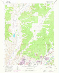
1963 Map of Farmington North
USGS Topo · Published 1980About this map
La Plata River and the Animas River converge at the southern edge of this landscape, defining the early growth of Farmington. The topography transitions from the high Glade Mesa and Piñon Mesa down to the broken terrain of The Badlands and Cottonwood Arroyo. Urban expansion is evident through the 1970s revisions, showing the development of neighborhoods and educational facilities like New Mexico State U (San Juan Branch), Hermosa Jr High Sch, and Ladera del Norte Sch. The irrigation infrastructure essential to this arid region is well-documented, featuring the Independent Ditch and Halford Independent Ditch. Numerous gas wells are scattered across the mesas, illustrating the industrial footprint alongside residential landmarks like Bethany Ch and the Country Club.
Find a feature on this map
42 named features on this map. Tap any name to fly to it.
Don’t see what you’re looking for? This feature index may not catch every label — zoom into the map to look around manually.
Map Details
Editions of this 1963 Farmington North Map
2 editions found
Other maps of this area

1889 · Chaco
USGS Topo · 1:250,000

1892 · Chaco
USGS Topo · 1:250,000

1927 · Sulphur Spring
USGS Topo · 1:96,000

1928 · Kirtland
USGS Topo · 1:125,000

1932 · Kirtland
USGS Topo · 1:125,000

1954 · Shiprock
USGS Topo · 1:250,000

1958 · Shiprock
USGS Topo · 1:250,000

1959 · Shiprock
USGS Topo · 1:250,000
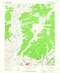
1963 · Farmington North
USGS Topo · 1:24,000
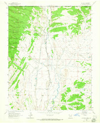
1963 · La Plata
USGS Topo · 1:24,000